Mayford Heritage Pond
The village of Mayford
Mayford lies about 2½ miles south of Woking on Egley Road, which is part of the A320 joining Woking to Guildford.
The name Mayford, according to local opinion, comes from the ford that used to cross the Hoe Stream next to the Mayford Arms public house, where it is supposed that Hawthorn trees commonly grew.
As the surrounding area is still a regularly flooded river plain, one that was quite possibly flooded even more in the past than it is now, it is unlikely that Hawthorns were common enough there to name the place after, as they do not like exceedingly damp areas
Mayford appears in the Domesday Book of 1086 and in 1212 it was still recorded as Maiford. These dates suggest that the plant after which the ford was named is actually Mayweed, not Hawthorn.
Mills (1995), 'A Dictionary of English Place Names' suggests the derivation of Mayford as being, 'ford where the mayweed grows' from the old English maegth + ford.
The reasons being are that this common annual member of the daisy family readily grows on areas of disturbed ground, such as regularly used banks at river crossings. Secondly, around the time of the Domesday Book, Hawthorn was commonly known as 'Hack' and places that were then named after the bush were so called, e.g. Hackhurst and Hackridge. The name May as a colloquial name for Hawthorn didn't come into usage until around the 14th century.
Pond Location
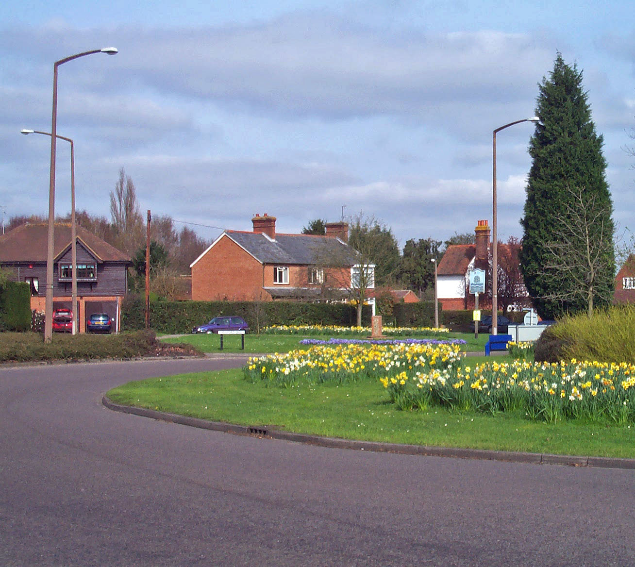
The pond is situated opposite the Mayford Centre on the new Mayford Green between Hook Hill Lane and Smarts Heath Road/Mayford Green, just to the west of the A320 Mayford roundabout.
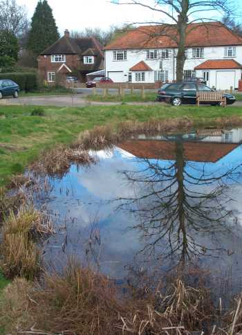
This view of the pond was taken in February 2002.
Grid Reference: SU 992 562
The what3words URL for the Mayford Green Pond is palms.epic.ballots